Hrchavka river canyon
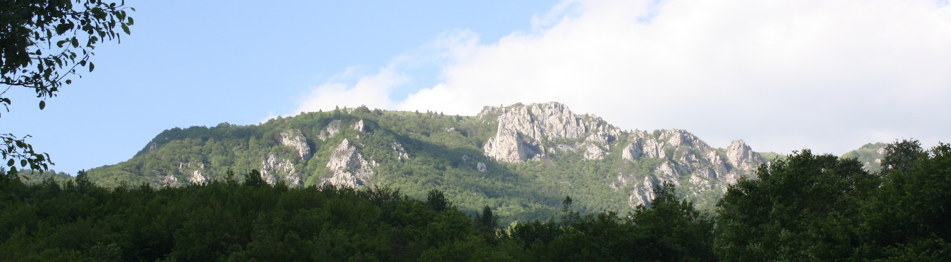
The Tara River Canyon is 60 km long and, according to some, the second deepest in the world after the Colorado River Canyon in the USA, and the first in Europe. Its average depth is 1,073 m, and the greatest depth is 1,333 m. It is deepest near Obzir (1,250–1,300 m). It represents one of the rare oases of untouched nature and is a reserve for many endemic species of plants and animals, which is why it was included in the UNESCO program "Man and the Biosphere" in 1977 as an exceptional geomorphological and ecological entity. A special tourist attraction is rafting…
Source: Wikipedia

Tara river
Tara is a river in Montenegro and Bosnia and Herzegovina (Republika Srpska). It is formed by two small rivers, the Opasanica and Veruša, below the Komovi mountain. The last 40 km of the Tara river and canyon are located in Bosnia and Herzegovina, i.e. Republika Srpska, and in several places it forms the border between the two countries. At Šćepan Polje, where it joins the Piva River, it forms the Drina River. It is mainly known in Montenegro as the "Tears of Europe". Until recently, the water from the river could be used for drinking throughout its course.
The Tara River Canyon is said by some to be 1,333 m deep at its highest point, making it one of the deepest in Europe. It is less likely that the gorge is the second deepest or longest in the world, after the Colorado River Canyon. The Tara River itself is 146.4 km long, with an average drop of 4.5 m/km, and a drainage area of 1,853 km². The Valbona River in the Prokletije Mountains has a water flow rate of up to twenty times greater than the Tara River at the Đurđevića Tara Bridge. Most of the Tara River (including its canyon) is a UNESCO World Heritage Site.…
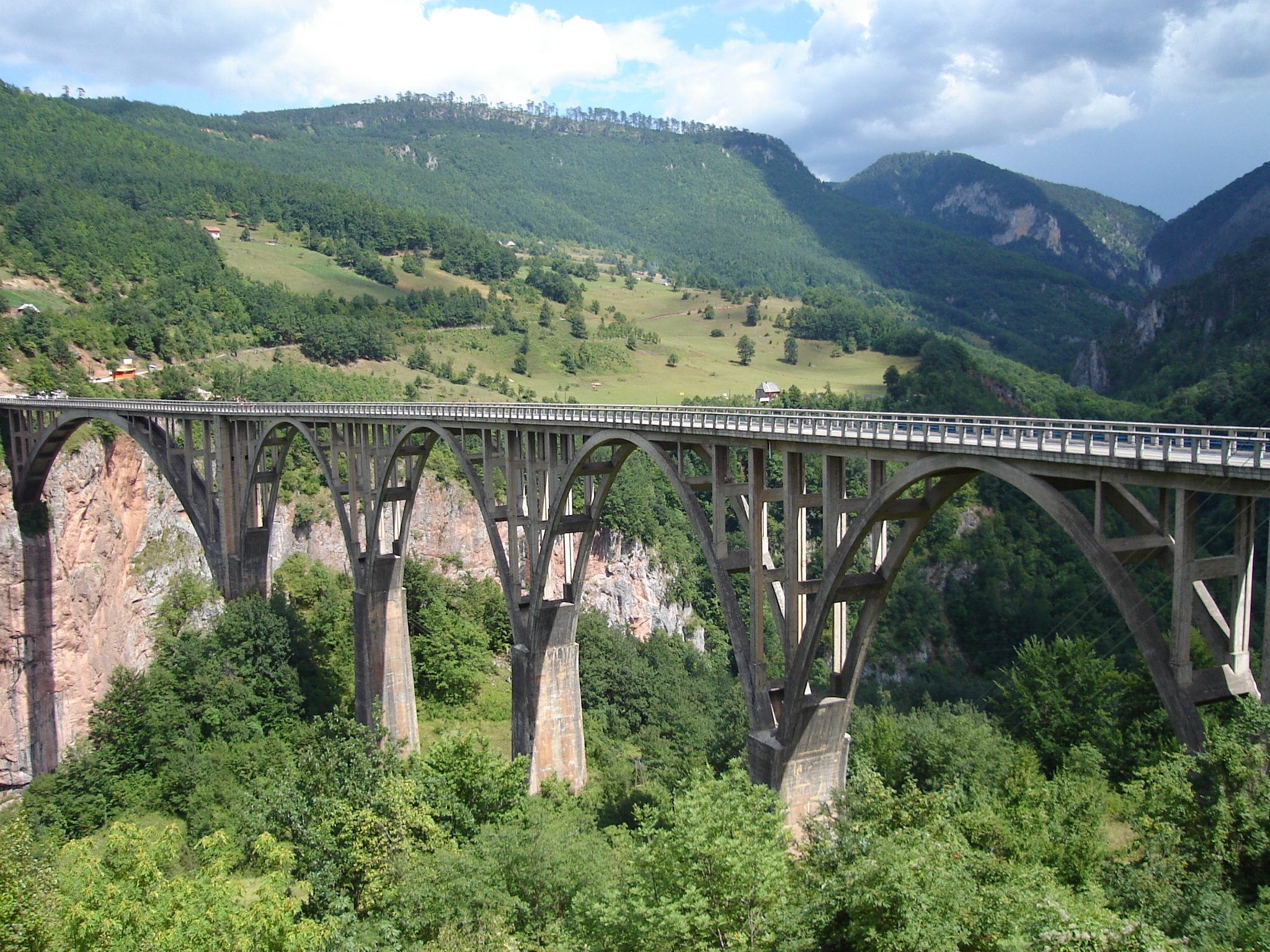
The Đurđevića Tara Bridge is 365 m long and was built from 1937 to 1940. It was designed by Mijat Trojanović.
Source: Wikipedia